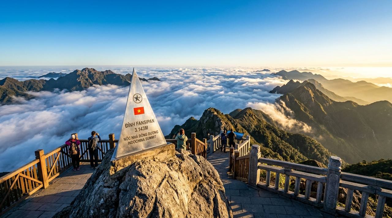

Dinh Gio, Ta Xua
Ta Xua, Son La
See the daily sea-of-clouds probability for each cloud spot, community road reports from riders on the passes, and keep track of your group while riding.
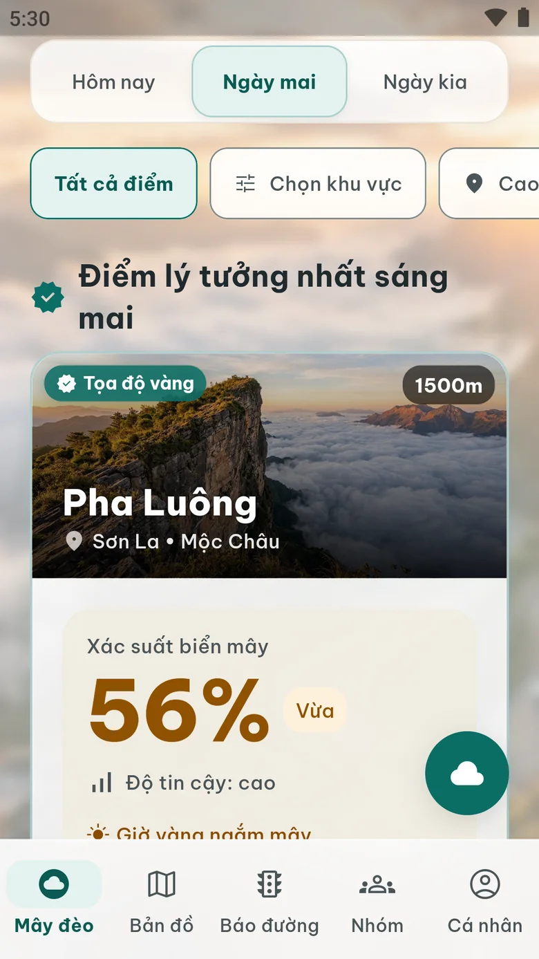
A few highlights from the 31 tracked spots. See each day’s probability right here on the web or in the app. Coordinates and elevations are approximate and are being verified on the ground.
Ta Xua, Son La
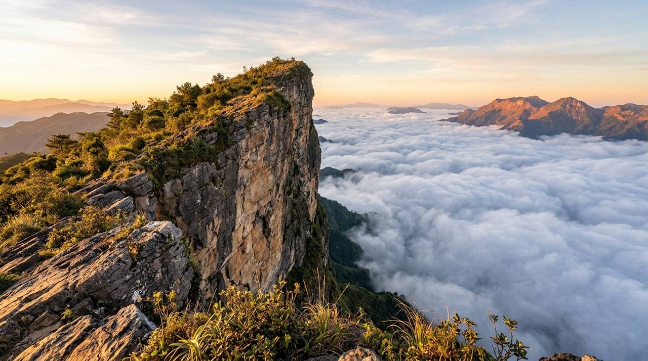
Moc Chau, Son La

Sa Pa, Lao Cai

Bat Xat, Lao Cai
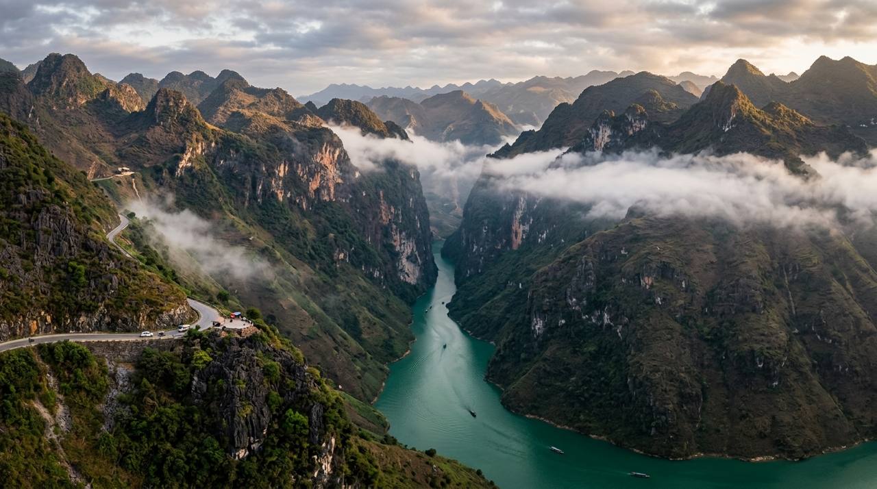
Ha Giang

Ha Giang

Mu Cang Chai, Yen Bai
Vibrant short video clips captured by adventurous motorbike riders across Northern Vietnam.
Built for mountain motorbike trips: readable at a glance and usable with gloves on.
Sea-of-clouds probability for tomorrow, the day after and the day after that, always with forecast confidence and how far the cloud top sits below the viewpoint.
Cloud spots on a map, colored by probability and always labeled in text so they are readable outdoors.
Riders report fog, slippery roads and landslides. Reports take a few taps and expire so stale news does not linger.
Create or join a group with an invite code, share your location while you choose to, and get alerts when someone falls far behind or loses signal.
We value your safety and your time on every mountain curve.
Cloud forecasts and community road reports are for reference only. Weather on mountain passes can change within minutes; always stay in control, slow down in fog and observe real conditions.
Answers to common questions from riders who hunt for clouds.
It is more common in the cooler season, especially at dawn after light rain when humidity is high and wind is weak. This is general knowledge; check the daily probability for each spot in the app.
The app takes weather forecasts (cloud layers, humidity by altitude, wind, temperature), scores each spot against its own thresholds and shows the probability with a confidence level. It is an estimate, not a promise.
Without a signal the app shows the last saved forecast with its update time, and reports you send are kept on your phone and resent when you are back online. The map does not work offline yet.
Stop somewhere safe, open the Road reports tab, choose the pass, the type of hazard and its severity, then send. A description and a photo are optional.